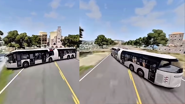
A new era is rising where the real world blends with detailed digital environments. This evolution is known as Virtual Earth — a digital replica of our planet designed to help us explore places, learn geography, plan cities, visualize history, and even travel virtually. From realistic 3D landscapes to interactive environments, Virtual Earth technology is shaping education, travel, science, entertainment, and human connection in a smarter way.
What is Virtual Earth?
.png)
Virtual Earth refers to a detailed digital model of our planet created with real-world geography, satellite data, simulation engines, and 3D mapping. It allows users to explore cities, oceans, mountains, landmarks, and cultural sites without physically visiting them. By combining real-world information with advanced visualization tools, Virtual Earth brings global experiences to our screens.
- Digital map of real locations
- 3D environments and building models
- Realistic landscapes, weather, and terrain
- Interactive and educational experience
- Accessible from anywhere in the world
With this technology, learning and travel become more immersive, safe, and accessible for everyone.
How Virtual Earth Works
Virtual Earth uses multiple technologies to build accurate digital environments that represent our planet.
| Technology | Purpose |
|---|---|
| Satellite Imaging | Captures real world images from space |
| 3D Modeling | Builds cities, terrain, and buildings digitally |
| GIS & Geography Data | Provides location-based land information |
| Virtual Reality & Simulation | Creates realistic interactive experiences |
Benefits of Virtual Earth Technology
1. Better Global Learning
Students and researchers can study world geography, history, climate patterns, and cultures through realistic 3D visualization. Learning becomes fun, practical, and interactive.
2. Virtual Travel Experience
People can digitally roam streets, mountains, forests, and oceans. Virtual visits inspire real-world travel planning and global awareness.
3. Smart Urban Planning
City planners and engineers use virtual earth models to design roads, buildings, green areas, and transportation networks accurately before real construction.
4. Climate & Environment Study
Climate researchers visualize weather patterns, water systems, and environmental changes to understand global sustainability challenges.
5. Emergency & Disaster Planning
Governments and rescue teams use virtual maps to plan emergency routes, safety shelters, wildfire response, and disaster drills efficiently.
6. Cultural Preservation
Ancient monuments and cultural sites can be digitally preserved and explored for future generations, even if physical locations change over time.
How Virtual Earth Helps Daily Life
- Finding locations and understanding routes
- Learning geography and global trends
- Planning travel and navigation
- Exploring cultures, landmarks, and nature
- Educational field trips without travel cost
- Understanding global history visually
Whether for school, office, or personal interest — virtual earth access brings the world closer to us.
Future of Virtual Earth
The future will bring even more realistic digital planet experiences. Virtual Earth platforms will combine:
- Complete 3D city reconstruction
- Real-time weather and environment updates
- AI-powered climate prediction
- Virtual tourism and travel guides
- Educational classrooms inside digital worlds
- Full VR walk-through experiences
Soon, students may attend virtual geography classes inside replicated global landscapes, and people may take immersive world tours right from home.
Challenges & Considerations
Even though Virtual Earth has incredible potential, it requires:
- Accurate global data collection
- Powerful computing resources
- Respect for privacy and map boundaries
- Responsible digital use for education and planning
Frequently Asked Questions (FAQ)
What is Virtual Earth used for?
It is used for learning, travel planning, city development, environmental study, and virtual exploration of the planet.
Can Virtual Earth replace real travel?
No. It helps with virtual exploration, but real travel offers feelings, emotions, and cultural interaction — both experiences support learning.
Who benefits the most?
Students, researchers, planners, travelers, explorers, and anyone curious about the world.
Conclusion
Virtual Earth is opening a new path for global learning, travel imagination, and digital experience. It empowers people to explore the world, understand cultures, study nature, and imagine the future — all through advanced technology. As digital maps evolve and become immersive, humanity will connect with knowledge and culture in ways never possible before. This is not just the future of mapping — it is the future of imagination and discovery.